If You Only Walk Long Enough: Exhibition, Irish Arts Center NYC by ellie berry

If Only You Walk Long Enough

Leanne McDonagh, Ellie Berry, and Edy Fung
Curated by Moran Been-noon

'Would you tell me, please, which way I ought to go from here?'
'That depends a good deal on where you want to get to,' said the Cat.
'I don't much care where—' said Alice.
'Then it doesn't matter which way you go,' said the Cat.
'—so long as I get somewhere,' Alice added as an explanation.
'Oh, you're sure to do that,' said the Cat, 'if you only walk long enough.'

—from Alice’s Adventures in Wonderland, CHAPTER VI

Alice next arrives somewhere, just as the Cheshire cat predicted, but was she the same Alice when she got there? This exhibition seeks to explore travel, travellers, Travellers, journeys, and destinations, and ask how they change each other. Artists Leanne McDonagh, Ellie Berry, and Edy Fung bring to the exhibition a perception of travel that’s tied to their experiences, and each offers the audience a moment of meditation on how travel can influence them, their destination, and their idea of “somewhere.”


Running from January - July 2023, I am thrilled to be part of this exhibition in the Irish Arts Center in New York, curated by Moran Been-noon. Below, I’ve included installation images of my, Leanne McDonagh, and Edy Fung’s work.

Reflections, responses, and more details of this exhibition to come.
For now, just know that I will be in New York for an artist talk on the 27th March 2023.

Location:
Irish Arts Center, 726 11th Avenue, (bet. 51st & 52nd)
New York, NY 10019

Artist talk: 
Monday, March 27 | 6pm 
RESERVE >

Dates:
Jan 13, 2023 – Jul 23, 2023

Exhibition hours:
Mondays through Wednesdays | 5:30pm–9pm 
January 17–March 9; April 10–June 1 

Saturdays | 1pm–5pm
January 28–July 22 (except April 8 and May 27)
RESERVE >

Photography: Julia Gillard

June Updates 2022: Arts Council Agility Award and Project Progress by ellie berry

Arts Council Agility Award 2022

This year I’ve received my first Arts Council of Ireland funding, through round one of their 2022 Agility Award. This grant was awarded on the premise of, as an emerging artist, I was looking to buy my own time to work on my practice and research how my practice can develop in new ways. Having graduated from my research masters last year, and having work featured in WALK! at the Schirn Kunsthalle in Frankfurt earlier this year, I feel like I am at a pivotal point in my career.

I’m so happy to get to share that I’ve been given this funding - it’s these moments where I get to really believe in my practice, and I cannot wait to develop and share the projects that I’m working on for this year. I waited until more than a month to share the news of this award on social media (and two months for this blog post I think), as I didn’t fully believe it was actually happening. Thank you to the Arts Council of Ireland.

Remapping, Reimagining

In the projects tab of this website, you’ll now find Remapping, Reimagining.

I’ve written two blog posts announcing this project (blog one and blog two), where I’m using open data to explore the different layers that make up the Irish landscape. I’m really excited to have started building the homepage for this project on my website. There are multiple layers to the Irish landscape that I want to explore, so from this page you’ll be able to find the research and writing I make about each different aspect.

To start off, I’ve written about Special Areas of Conservation (SAC’s) and what they protect in the Irish landscape. At the bottom of the SAC page you’ll also find free maps to download, each map featuring the SAC’s of each county of Ireland. Below is an extract from writing about SAC’s:

“Still laughing at myself, I make it past the reception, the gates, and maybe 200 meters down the now-empty commuter by-pass, before a sign catches my eye. That’s a lie - it’s the gravel on the other side of the road I notice first. It looked like the kind of gravel used for trails by county councils, and gave me the feeling that there might be a pedestrian way into the woods. When the sign did come into view, it’s the map that’s on it that actually pulls me across the road, excitement building at the possibility of an off road run.

The sign details loops do Bray head, and the trails that flow along its rising contours and cliffs. There’s always a lot of text on these boards, but my heart soars a little higher when it picks out the line that Bray Head is a Special Area of Conservation.”

Read the full piece here.

I’ll also be featuring Ireland’s Special Protection Areas, Natural Heritage Areas, and Nature Reserves, as well as writing about the positive powers of Open Data and mapping in Ireland, so stay tuned for more updates soon!

This project is funded by the Open Data Engagement Fund, and will be featured in the Walk21 Conference in Dublin, September 2022.

Remapping, Reimagining: my opening image by ellie berry

For my blog post announcing this project, I wanted to have an opening image that was engaging, and would allude to some of the different elements I’ll be working with or thinking about throughout this project. I’m currently in the research and building stage, and haven’t gone on any field trips, so I knew that this image would be built from my desk and wandering thoughts. 

“The Opening Image”

I love research - it’s the counterbalance to all the time I love to spend outside. I’ve written before how stimulating I find walking (or just being away from my desk in general). When I return to my small creative space, it’s about coalescing my rampant ideas into a path that others can follow. In the case of this project, I know that there is a very strong and specific visual history that has come before me that I want to acknowledge; Ireland as the idea of a place has been under the scrutiny of representations for as long as it has existed. This means that my final choices of forms for the work will be an important decision for me.  

My mode of research in particular is practice-led research. This means that there is a constant cycle between creating, reflecting, researching, creating - a spiralling cycle that will keep wandering on, for what I can only assume will be quite a while. I am naturally drawn to tactile research, which includes various elements, such as my visual research journals, or the small mountain of printed off reading material that I will eventually mine to the bottom of. This tactility makes looking at what I’ve created, reflecting on it, and then developing further a very natural process. 

I scan with a blue sheet of paper to make it easier to remove and have a blank background; a blue green-screen.

A favourite phrase of one of my previous research supervisors, was that the role of reflexivity in research is in “making explicit what is implicit.” I came across it once more as I flicked through a research journal looking for a different quote that I knew I wanted to use in this blog post. However, that above line was exactly what I was trying to do right at that moment. What were my implicit layers to that opening image? 

I knew them in rough speak in my head; the image in the bottom of the square was a collage item from a John Hinde postcard - imagery seeped in the imagined geographies of Ireland, something I’m always looking to build on; the handwritten title implies a work-in-progress and offers a gentle linking factor to; the graph at the top of the image, taken from the open data set on the price of agri-fertiliser. It was one of many graphs and visuals I was playing and layering with - and when I put it with the postcard, it immediately clicked in certain ways. Firstly, there’s how the graph reacts to the horizon line of the mountains, looking like they’re mimicking each other. The fact that it was also related to farming and the productivity of the land I also thought was potent, as the Irish landscape was once shaped by purposeful emptying and the removal of farms, in order to make a more visually pleasing landscape. 

Now that I have these elements roughly drawn out, I feel in a better position to tease each one out with a bit more care. 

Let's start with the cropped photograph. 

This is a section of a John Hinde photograph - one of the many he made as postcards of Ireland in the 1940s/50s. This specific image, “On the road to Keem Strand, Achill Island, Co. Mayo Ireland”, features what looks like a family group sitting on a rocky roadside, overlooking the bay ahead. Anecdotally, Hinde is said to have been so invested in producing the most “authentic” pictures of Ireland that he would bring a garden saw with him so that he could move shrubs - either out of his frame, or into the image to hide something that didn’t fit into the aesthetic version of Ireland that he was focused on. These images are so deeply oversaturated - in both the colour, and the tropes of thatched cottages, red haired children and rolling green hills. They are one of the most widely spread series of stereotyping Ireland into the green idyllic land that I know of to come from the 20th century.  

Original John Hinde Postcard

When talking about the visual representations of Ireland, it’s important to know that Ireland was under colonial rule when photography was invented, and the ramifications of that. From the colonial standpoint, Ireland was seen as a landscape that could be physically manipulated to fit one’s preconceptions of the place, without any of the same ramifications as doing so at home. Ireland is somewhere that became regularly visited or toured, but rarely actively lived in by many of the landlord classes of the nineteenth century. Specific guides were written on how to see the landscape of Ireland, and land was cleared of the peasantry that lived on what was seen as desolate picturesque. (1)

This duality of place - the “real” places, and the “imagined” ones preconceived before visiting, means that leading scholars on the photographic representations of Ireland have said that “if Ireland had never existed, it would have had to have been invented. That the island of Ireland does exist as a geographical place, however, has not prevented generations of photographers from framing their pictorial representations of the island to form the imaginary image that existed for them in their mind’s eye before they experienced it in reality.” (2)

In Hinde’s pursuit of photographing Ireland in a style that immediately nostalgises the experience, he added to the already strong foundation of Ireland being seen as rolling green hills and small donkeys carrying turf. (3)

Using Hinde’s imagery in particular holds another layer, as his postcards have already been collaged in the famous Irelantis work of Sean Hillen. Hillen’s work has been described as the destruction and post-modernising of a landscape that had yet to reach modernity. Fintan O’Toole wrote that the landscape in Hillen’s work is “a cultural space that has gone in the blink of an eye, from being defiantly closed to being completely porous to whatever dream is floating by out there in the media ether ... this Ireland is ... everywhere and nowhere”. (4) 

Collecting Meteorites at Knowth, IRELANTIS, Sean Hillen

Hillen’s transformed landscapes still hold aspects and references of the original postcard’s excessive twee - however, the work offers insight into how contemporary Ireland projects an image of itself. These photomontages highlight the crazy meshing of realities and fictions, building an imaginative geography that could also be viewed as a distant non-place; a landscape to travel through or past, but not exist within.

For me to use a section of a Hinde image carries all these thoughts. 

However, there are still two other elements I want to talk about, which means resurfacing from this tangent to look at the next element within my opening image - the titling. 

Because this image is made in the research part of my practice, the handwritten elements signify this process of combining and working through. For me, there is no line between the “create”, the “research” and the “final writing up” - work can be stronger if you can see all the interconnecting elements. The handwritten “remapping - reimagining” is taken from me trying to decide on a name for this project. I find naming one of the harder parts of the process, and the physical writing out is a way to play around with ideas. 

Including the hand-written element felt less set in stone, and can give the illusion of editability (crossing out, adding to) between now and the end of the project. 

Thirdly, we have the line at the top of the image - the overview graph from the open data set on agriculture fertiliser price (euro per tonne). As I mentioned above, this was one of several graphs and visuals that I had taken from data.gov.ie as inspiration. As I was layering some different visual elements for this opening image, there was a moment where the graph and the postcard clicked. The graph isn’t in its original orientation, but flipped upside down, as if mirroring the bottom half of the frame. The vague similarities that can be drawn between it and the line of the hills is enough to suggest some sort of interplay, and the fact that it was also related to farming and the productivity of the land holds so much in relation to what I’ve said about the purposeful emptying or clearing of the Irish landscape in pursuit of the picturesque. 

There is another layer to open data that really speaks to me - which is the very concept of “Open Data”. As I mentioned in the opening blog post, “open data” is about making information held by public bodies in Ireland available, accessible and reusable. It gives citizens access to data about so many different aspects of Ireland - from which anyone can work to see how the many, many disparate layers of Ireland fit together.

Ireland was the first country in the world to be mapped in rigorous detail, but the data was by no means “open data”. Ordnance Survey Ireland is the primary mapping authority in Ireland, and evolved from the Ordnance Survey of Ireland, established in 1824 as part of the British army under the Ministry of Defence.

“The Ordnance Survey of Ireland was created to carry out a survey of the entire island of Ireland, for the purpose of updating land valuations for land taxation purposes. The original survey at a scale of 6 inches to 1 mile was completed in 1846 under the direction of Major General Thomas Colby. Ireland thus became the first country in the world to be entirely mapped at such a detailed scale.” (5)

This mapping was not for the people of Ireland, but for the ruling government to have a better understanding of what was within their domain, and how they could change it for their needs. Of course, things like Ireland being relatively small made mapping the whole country a feasible undertaking, but the data created wasn’t free for, or accessible to, anyone who was interested. 

For me, the idea of using open data to “remap” Ireland, or “reimagine” the different aspects of the island is a form of reclaiming the visual representations of the landscapes, and opening new dialogues into what we know and look for when experiencing places. 


Endnotes

  1.  If you want to read more about this physical shaping of the land for aesthetics, you can find it in this paper, Creating Contemporary Photography in a Traditional Landscape: walking through representations in the Irish landscape.

  2.  Carville, Justin. Photography and Ireland. Reaktion Books, 2011. p. 7. 

  3. In recent years new scans of Hinde’s work have become available, and you can find a scan of the negative used for this postcard here. Comparing the two, the colour contrast of the landscape is pretty dramatic - as well as the colours of the clothes of the people completely changing.

  4.  Hillen, Seán. Irelantis : Paper Collages. Dublin, Ireland, Irelantis, 1999. Forward by Fintan O’Toole.

  5.  Kenny, Pat. “History.” Ordnance Survey Ireland, osi.ie/about/history/. Accessed 31 Mar. 2022.


This project is funded through the Open Data Engagement Fund. This is a competitive fund designed to provide support towards promoting the use of open data on the national Open Data Portal data.gov.ie. Learn more about the fund here.

Remapping, Reimagining: using open data to visualise layers of the Irish landscape by ellie berry

“The visual representations of Ireland that we encounter often depict a very specific, stereotypical view of the island. Through this research project, I want to look at how land is allocated, used, and visually represented through the many open data sets around our different environmental habitats. 

By researching what makes up the different parts of Ireland, I aim to create work that focuses on showcasing a wider variety of what exists here, as well as breaking down stereotypical imagery, and hopefully educating people on a wider spectrum of what one can find and experience here in Ireland.”


At the end of 2021, I applied for funding from the Open Data Engagement Fund to create work surrounding how the different aspects of Ireland are visualised. My application was successful, and I’m really excited to get to share this project with you this year. Today, I’m going to share my ideas for the project, and over the next few months I’ll be sharing my research developments and field trips.


But let’s start somewhere near the start.

Whenever I want to explain what it is I like to research, I usually start with the following question;

Have you ever been to New York? How about Egypt?
Okay - when you think the word Egypt, what images come into your head? Exactly - sand, and the sphinx, and some pyramids.
So, what do you think an American sees when they think of Ireland, even though they’ve never been here? What do you think, when you think the word “Ireland”?

I’m really interested in how those mental images are created.

If it’s a passing conversation, that’s typically as far as it goes. But here, we can go a bit deeper.

There ends up being two ideas of a place - the “real” and the “imagined”.  This concept of a place having two ‘realities’ was developed by Edward Said in his work Orientalism (1) and is known as ‘Imaginative Geographies’.  In his writing, Said developed imagined/imaginative geographies to be a critique of how places and spaces are perceived through images, texts, and cultural discourses, and how that can become a valued perception of a place over how the place or space itself exists in reality.

When asked to visualise Ireland, the same process occurs for many people - be they living in Ireland, or abroad. Quite often, Ireland is represented as a very wild, green landscape, with vibrant flora and fauna. 

And so, for this project, my research will look into the open data behind Ireland’s land use, and create visual work exploring how much (or little) of Ireland might fit into these prominent visual representations. The goal of this work will be to explore and create visual work that will aid in broadening the understanding and engagement possibilities with our outdoor spaces and landscapes. 


To do this, I’m using “Open Data”. The concept of Open Data is about making information held by public bodies in Ireland available and easily accessible online. It gives everyone access to non-personal government data - from which anyone can work to see how the many, many different layers of Ireland fit together. This information is accessible via the governments Open Data Portal - data.gov.ie. On their website, they describe the Open Data Initiative as a programme,

“designed to benefit society by increasing the amount of governmental data available to the public, promoting enhanced innovation and fair competition. Many of the apps we use on our phones on a daily basis rely on Open Data. Who leaves their house without checking the weather, the time of the next bus or goes to the beach without looking up the water quality, tidal times or parking facilities? Data.gov.ie is the central portal which provides access to all governmental open data.”(2)

So what can you find in open data? At the time of writing, there are 13,355 datasets listed on the site. You can follow wildlife corridors in Co. Roscommon, browse through the most borrowed items from Cork City Libraries, spend days reading through Met Éireann’s Live Text Forecast Data,(3) and plan a walking route between each tree in the Fingal County Council area.

For me, the datasets that caught my eye to start with were the Special Areas of Conservation (SAC’s), a break down of the different vegetation areas as well as predominant habitat types, the places now considered built up areas of Ireland and our townlands.
(I think right around here is where I could make some sort of joke about whether you can “take the girl out of the mountains …”)

One of the datasets that will be integral to this exploration of map-making is the Digital Elevation Model of Ireland, from NASA's Shuttle Radar Topography Mission (SRTM).

My goal for the project is to create non-typical maps of Ireland that highlight these different layers to the landscape. The project will also see me visit and walk through some of these places, documenting the experience. The goal of this work is to create visual maps and artwork that will aid people in understanding and engaging with our outdoor spaces in new and different ways.

One of the stipulations of this project is that the results of it will be free for others to read, explore, and even reinvent. And that is where this blog comes in. Everything I create will be shared online here, for anyone to see. My hope is to also create a small publication and have an exhibition of the work - both of which will be documented and shared here as well.


  1.  Said, Edward W. Orientalism. Brantford, Ont., W. Ross Macdonald School, Resource Services Library, 2006.

  2. Open Data Initiative, and Department of Public Expenditure and Reform. “About Data.gov.ie - Data.gov.ie.” Data.gov.ie, data.gov.ie/pages/aboutdata-gov-ie. Accessed 30 Mar. 2022.

  3. I swear, every time I open up a new dataset, a new beautiful project unfolds. My first reaction to the text lines of Met Éireann’s weather forecasts mentioned above can be seen in the second image in this blog post. Imagine a project to pair a daily image with the daily text report? Or if you had the previous year’s worth of daily weathers, to then photograph the daily weather, one year later?
    Reimagining these text lines will have to be saved for another time …


This project is funded through the Open Data Engagement Fund. This is a competitive fund designed to provide support towards promoting the use of open data on the national Open Data Portal data.gov.ie. Learn more about the fund here.

WALK! at Schirn Kunsthalle, Frankfurt || My First International Exhibition by ellie berry

WALK!

18 FEBRUARY – 22 MAY 2022

The act of walking as a social phenom­enon has gained renewed impor­tance in the twenty-first century. The group exhi­bi­tion WALK! at the SCHIRN provides an overview of walking as a prac­tice in contem­po­rary art produc­tion—a facet that has so far been rarely consid­ered. It exam­ines contem­po­rary explo­rations and expan­sions of Walking Art, which had its origins in the 1960s move­ments of Mini­malism, Land Art, and Concep­tual Art.

The SCHIRN presents more than forty inter­na­tional artists whose work incor­po­rates walking as an essen­tial element. Some one hundred photographs, video works, collages, draw­ings, paint­ings, and sculp­tures, as well as live perfor­mances and partic­i­pa­tory projects in public space aesthet­i­cally inter­twine walking with the chal­lenges of our time, reflect on current debates around issues such as glob­al­iza­tion and climate change and explore forms of protest and demon­stra­tion.

ARTISTS

Bani Abidi, Yuji Agematsu, Allora & Calza­dilla, Fran­cis Alÿs, Daniel Beer­ste­cher, Ellie Berry, James Bridle, Tiffany Chung, Jesse Darling, Michael Dean, Sebastián Díaz Mora­les, Anders Dick­son, Flaneur, Hamish Fulton, Rahima Gambo, Birke Gorm, Hamza Hall­oubi, David Hammons, Yolande Harris, Mona Hatoum, Fabian Herken­hoener, Hiwa K, Michael Höpf­ner, Jan Hostett­ler, Regina José Galindo, Kubra Khademi, Bouchra Khalili, Kimso­oja, Özlem Günyol & Mustafa Kunt, Minouk Lim, Carole McCourt, Helen Mirra, Sohei Nishino, Carmen Papa­lia, Signe Pierce & Alli Coates, Sascha Pohle, Pope.L, Hans Scha­bus, Miae Son, Cheyney Thomp­son, Milica Tomić


In 2019 I went to Greece for a conference - it was the first conference I wrote a paper for, my first international conference, and my first “walking art” conference. Looking back, I can see how formative an experience that trip was - I was almost a year into my research masters, but was only starting to vaguely understand what it was that I had actually signed up to undertake. From those ten days of work/walk-shops and talks, I found my way into examining experiences in more critical ways, and redefined what being an artist meant to me.

My paper presentation was on the last day of the conference, in a small town hall that was only cooler than being out in the greek sunshine in a theoretical way. The actuality of all the bodies probably negated any cooling, but at least I no one was getting sun burnt. Being such a stuffy atmosphere, I didn’t want to make it worse by only reading out sections of my paper - so I included some of my own work, and talked about the experiences that led me to trying to make work in new ways, comparing it to other Irish artists that had gone before me and had similar reactions when depicting the Irish landscape.

This is how Fiona saw my work, and how, eighteen months later, she emailed me to let me know about a show about walking art she was involved with. It was still in the planning stage, so we were just opening up the conversation. More time passed, and each step in the process to having work in the show passed by. Even at the end of 2021, when I was sending in the high resolution files of my work, I didn’t fully believe it would happen. Even seeing a gallery floor-plan mock-up. But my name is on the website, and I’ve booked my flights over to see it.

To have my work in the same show as some names I really admire is - well, maybe this is the part that makes it hard to believe.

I’m excited. Here’s the page on the website.

I’ll be over for the opening (18th of Feb), and will share installation photos after that.

Wish me luck!

The TLP Edition: Footnotes by ellie berry

Growing up, I always felt that the only place to find adventure would be outside this island. I wanted to explore, to see new places, to have new experiences. And that’s exactly what I did. However, a recurring conversation began to follow me - the further I went, and the more people I met, the more I was told what a beautiful, unique, and idyllic place Ireland was. To them, Ireland represented the exact type of adventure that I was travelling to find.

This project was born from a desire to explore and know my home. To find the Ireland that I hadn’t experienced. In order to achieve this, I walked each and every one of the National Waymarked Trails of Ireland. These trails, 42 in total, rambled through 25 counties, and encompassed a combined distance of over 4,000km. The photographs and reflections selected for this publication are a sample of the work created from this ongoing project.


My TLP Edition, Footnotes, is here.

It’s based off of one of the four small books I created as part of my Practice-led Masters by Research in IADT, that I graduated from last October. The ‘book-set' I created last year was called Footnotes, of which I made a limited run of them as a culmination to the project and the Masters. Each of the four books had its own title within the set, andThe title of this part was Footnotes; Traces.

Having created these multiple publications I was unsure how to share them with the world - it’s hard enough to publish one book, never mind a set of four in a hand made case. Quite a while ago, Ángel from PhotoIreland and I had agreed to make a TLP Edition of one of my projects; as soon as I had one I wanted to see in this format. As someone who loves to create books and tactile things, this should have been an almost instant thing, however it’s been a project long in-waiting.

Finding a way of sharing one element of my research, reflections, and images with the world so soon after graduating is really great, and I’m so happy to see this part of my work alive. You can order a copy from The Library Project (€6), in Temple Bar Dublin. It’s a print run of 200.

Happy 2022.

How to Climb a Famous Mountain by ellie berry

This is a republication of my recent writing/scripting for a Tough Soles piece, where I reflected on how to share our experience of a place that already has too many visitors exploring its slopes.


Climbing Cuilcagh

Cuilcagh is a mountain on the borders of Counties Cavan and Fermanagh. Standing at 666m tall, it has a distinctive plateau shape, with steep walls climbing up to a long, flat summit area. Our sights were first set on this mountain as part of our high points project, where Carl and I look to climb to the highest point of every county in Ireland. Cuilcagh counts for two counties - Cavan and Fermanagh. However, over the past few years the area of Cuilcagh has become famous for a new, man-made feature: the stairway to heaven. 

I think, to talk about this highpoint is to talk about a few different things, things that Carl and I have been learning over the past several years. When we started walking all of Ireland’s National Waymarked Trails in 2017, we were naive, young trail wanderers, heading off on an adventure that we thought would only take six months. 

Over 4,000km and many years later (it’s 2021), we can no longer go blindly. Many of the mountains we will look to climb will have their own unique issues and considerations. 


Such as Cuilcagh. 

Cuilcagh is home to a large blanket bog - which admittedly, to Irish eyes, can look like a fairly familiar and unremarkable thing. However, as an environmental habitat, it is an increasingly rare and precious thing. Because of this, Cuilcagh is a Special Area of Conservation (SAC) and is being lovingly restored. Alongside this, there has been a trail up Cuilcagh for quite some time. Several years ago, the issue of human impacts on the bog from this trail were noted. And through a series of events, the large boardwalk that stands there today was built, the intention being that it would help mitigate the human impact. 

One viral video later, and Cuilcagh has gone from seeing around 3,000 people per year, to over 100,000 visitors between March and September in 2021. At first, the top of the boardwalk was open, and people would regularly get lost on the mountain top due to the heavy clouds that can blow across the plateau at any time. Huge scares of trails criss crossed the summit, and litter left along the boardwalk became more and more of an issue. Further work has been done, and a viewing platform now contains visitors at the top of the route, with the hope of minimising further damage. 

The tricky thing about the outdoors, is that as more people live in urban spaces, easy to access, famous outdoor places are a necessary part of the cycle for helping people to experience, and then fall in love with our many different outdoor environments. Once people can experience the magic of the outdoors, they become protectors of it. 

I think, the problem from my experience of Cuilcagh, is that it doesn’t facilitate that falling in love. It’s a gravel road and a short boardwalk, through a landscape that is only famous because of the marks we have made on it. 

People go to see the “Stairway to Heaven”, not the mountain it is built on. The battle with Cuilcagh is that it is an increasingly popular place, because this white line across the landscape is so visual. If you look at that white line while walking, it is certainly interesting. However, as soon as you hold a camera in front of it, it almost becomes mesmerising, this snake of white across the dark bog. 

When we walked the boardwalk we didn’t want to add to the damage from this side, so we walked to the viewing platform and then turned around and walked back. What many people don’t realise is that the photos you see from the top of the boardwalk looking down at the trail - is that most of that white snake is a gravel road, not twisting boardwalk. 


We reached the summit of Cuilcagh a month later, when walking a section of the Ulster Way. This trail approached the peak from the north east, and was an intense scramble that we can only recommend to very experienced hill walkers. We touched the summit while engulfed in clouds, cold and wet and windswept. 

As I said at the summit, we’ve now been up this mountain two ways, and neither felt quite like the right way. 

I understand that it is easy for me to say that there are many more beautiful walks out there - I’ve had the amazing experience of seeing them, and being there, and experiencing some of the best places this island has. Unfortunately, the way Cuilcagh is now, I find it hard to know if people can fall in love with it the same way. 

If you are going up the boardwalk, try to avoid peak times, be gentle to the bog land around you, and bring all rubbish home with you, including food waste. 

The above is the script I wrote for our video about summiting Cuilcagh. It’s based off of two voice notes that I sent Carl while out running as I thought about how best to share our experience of the mountain, and the discourse around it. The voice notes vary only slightly from the final script (minus the heavy breathing of someone trying to record ideas while out on a 10k). 

A comparison I didn’t end up making in the video is between Cuilcagh and Glendalough in Co. Wicklow. Both are very popular places - and both have a boardwalk. However, the boardwalk in Glendalough (The Spinc), isn’t the main attraction - it’s walked because of the amazing views it offers of Glendalough. As I said above, to me it seems that Cuicagh’s boardwalk is walked for the boardwalk, not the mountain. 

(Of course, this is not saying that the Glendalough boardwalk has not had its own problems, it’s just an example of what people are focused on; mountain or man-made). 

Some useful resources and reading around this topic include:

On Foot: Introduction - Practice Led Masters by Research by ellie berry

This year I graduated from my Practice-led Masters by Research, which researched walking and visual representations of place. My thesis, titled “On Foot: Photography, Cultural Landscapes, and Ireland’s National Waymarked Trails” documents the theoretical research that went into my work, as well as the development of my artistic practice during this time. Below is the abstract and the start of the Introduction to this thesis.


Abstract

This thesis researches the evolution of walking and our interaction with place, discussing how experience can be shared, and the responsibility of image makers in their representations of place. The research is led by my walking practice, through which I have produced the first full documentation of Ireland’s National Waymarked Trails, a collection of 42 trails with a combined distance of 4,000km. From walking these trails I have considered how the Irish landscape has been affected by the picturesque aesthetic that has long been associated with it, and examined how the development of these trails is impacted by the perceived ideas of wild space in Ireland. Concerns are raised around the power of social media to influence representations of place and constructions of imagined geographies, which can lead to an abstraction between viewer and physical place. The theory of lifeworlds is used to analyse how contemporary photographic practice can include a sense of place and presence within a landscape, and the benefits of such work in grounding the photographic representations in a place.

fig. 0.1: Opening page to Footnotes: The National Waymarked Trails


Introduction 

On the 17th April 2017 I handed back my apartment keys, shouldered a heavy backpack, and set out on a project to walk every National Waymarked Trail in Ireland. 

The National Waymarked Trails of Ireland are a series of medium to long distance walking trails spread throughout the Republic of Ireland. The first of these trails was the Wicklow Way, which was established in 1982 by John B. Malone. It was quickly followed by the South Leinster Way and East Munster Way in 1984, as well as the Kerry Way and the Táin Way in 1985. At the time of writing, there are 42 open and walkable National Waymarked Trails across Ireland. (1)

The creation of these multi-day trails was inspired by the earlier development of the Ulster Way in Northern Ireland, as well as many of the famous long distance walking routes that can be found across Europe. The aim of these new walking routes was both to attract increasing numbers of international travelers, and also to create ways for local people to interact with their environment. (2)

Since the 1980s this trail network has developed into a body of over 40 trails, and 4,000km of walking. (3) These trails are typically defined as long-distance hiking trails, usually taking a minimum of 3 days to complete. They are designed to immerse the walker within the local landscape, whether crossing rural, urban, or suburban spaces.

fig. 0.2: Overview Map of National Waymarked Trails, 2020 (4)

Over the course of 3 years, from 17th April 2017 to 28th July 2019, I walked all of the 42 National Waymarked Trails of Ireland with my partner Carl Lange. As far as I am aware, we are the first people to have accomplished this. 

When we began walking in 2017, my recording, reflecting, and documenting of the process was purely a personal project. Through the opportunities that arose along the way, my walking developed into this Practice-led Masters by Research. In addition, during the years that this research has taken, my interests have expanded beyond looking at my own experiences, and into other people’s experience of nature and the outdoors, how we build and frame representations of place, and what our impact means for the future of our planet. 

fig. 0.3: Tourists at Yosemite national park. Photograph: Gabrielle Cannon/The Guardian

In 2018 the Guardian published an article titled Crisis in our national parks: how tourists are loving nature to death. (5) In this piece a team of journalists discussed how Americans are flooding to their National Parks and landmarks simply to take a photo (of the landscape or themselves), which they can then post on social media, all towards building a specific visualisation of themselves that they want to share with the world. The article tells a cautionary tale: as visitor numbers go from a few thousand a year to five thousand per day, the human impact is unavoidable. In 2018 through the months of summer to autumn, The Guardian dispatched writers across the American West and National Parks to investigate how overcrowding was evolving on-site. “We found a brewing crisis: two mile-long “bison jams” in Yellowstone, fist-fights in parking lots at Glacier, a small Colorado town overrun by millions of visitors.” (6) As people queue to take their own variant of the same picture, each post further clashes this imagined geography that is being built within the social media landscape, against the physical geography that is impacted in the real world. 

fig. 0.4: Crowds at Old Faithful in Yellowstone. Photograph: NPS/Neal Herbert

In the article, Simmonds writes that the National Parks of the US were once considered the “ultimate place to disconnect from the modern world” - however, today’s visitors “have fresh expectations – and in accommodating these new demands, some say parks are unwittingly driving the very behavior that’s spoiling them.” (7) Some consider the changes to the parks (such as the installation of camouflaged Wi-Fi towers) as a way of keeping parks ‘generationally relevant’, while others argue that the reason for visiting such places should be to experience the place without a screen interposing one’s view. As people flood to places that become ‘#instafamous’, the outdoor ethics organisation Leave No Trace has called upon people to avoid geo-tagging where they take their photos in a hope to lessen overcrowding and possibly the destruction of the wild space in question. While social media has made people more aware of how they construct their individual online identity and how they could be perceived within a space, we as a society have not taken the necessary step back to see our overall impact or image. Almost a year later in 2019, the Guardian published that roughly 96% of the U.S.A.’s National Parks are struggling with significant air quality issues, with the majority of the worst cases being the locations that had experienced extreme overcrowding in the year prior. (8)

fig. 0.5: Queue for the summit of Mount Everest. Nirmal Purja, 2019

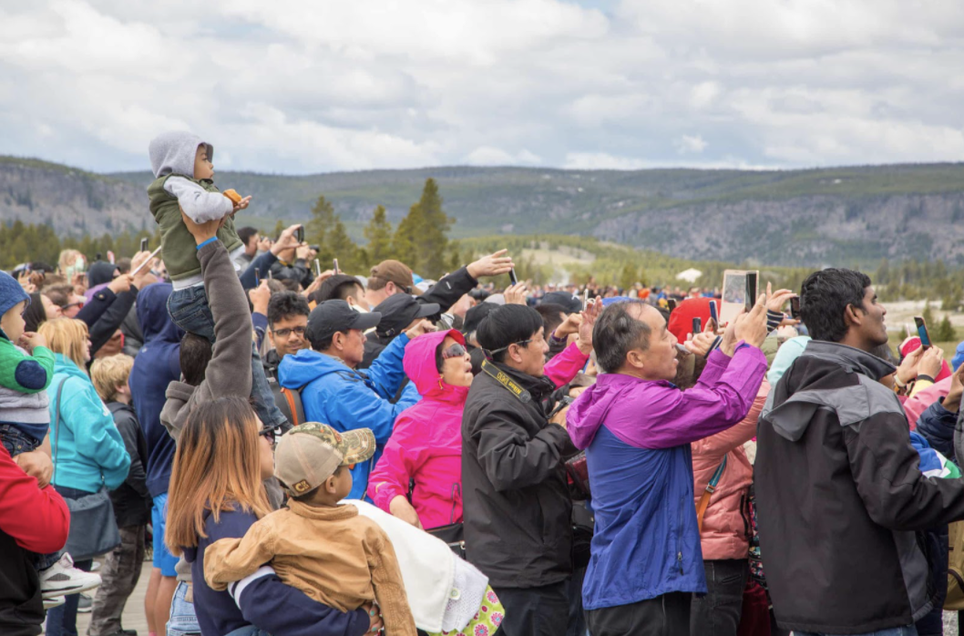
However, the image of 2019 that highlights the disconnect between our cultural and visual framing of the outdoors, as well as our terrifying impacts and consumption of it, was taken at supposedly one of the most difficult places to reach on the planet. 

Almost 66 years to the day from when Mount Everest was first climbed, Nepalese mountaineer Nirmal Purja photographed 100 people queuing to reach the summit. 2019 is now considered to have been one of the deadliest climbing seasons on Everest. While the good weather window that year was short, the problem wasn’t blizzards or avalanches, but too many people on the mountain. Veteran climbers and industry leaders have blamed these deaths on overpopulation, with particular focus on too many inexperienced climbers. (9) The above image sent shockwaves around the world as those who knew “nothing about mountaineering were shocked by this contradiction between the mountain’s reputation as a lonely and unattainable peak, and the banal reality of a rush-hour crush.” (10) That year saw a record number of permits to climb the mountain issued by the Nepalese government, and after the climbing season closed there were no signs that numbers would be restricted in the following year. As our consumption of nature felt like it was spiraling out of control, the world was brought to a standstill by the global Covid-19 pandemic. 

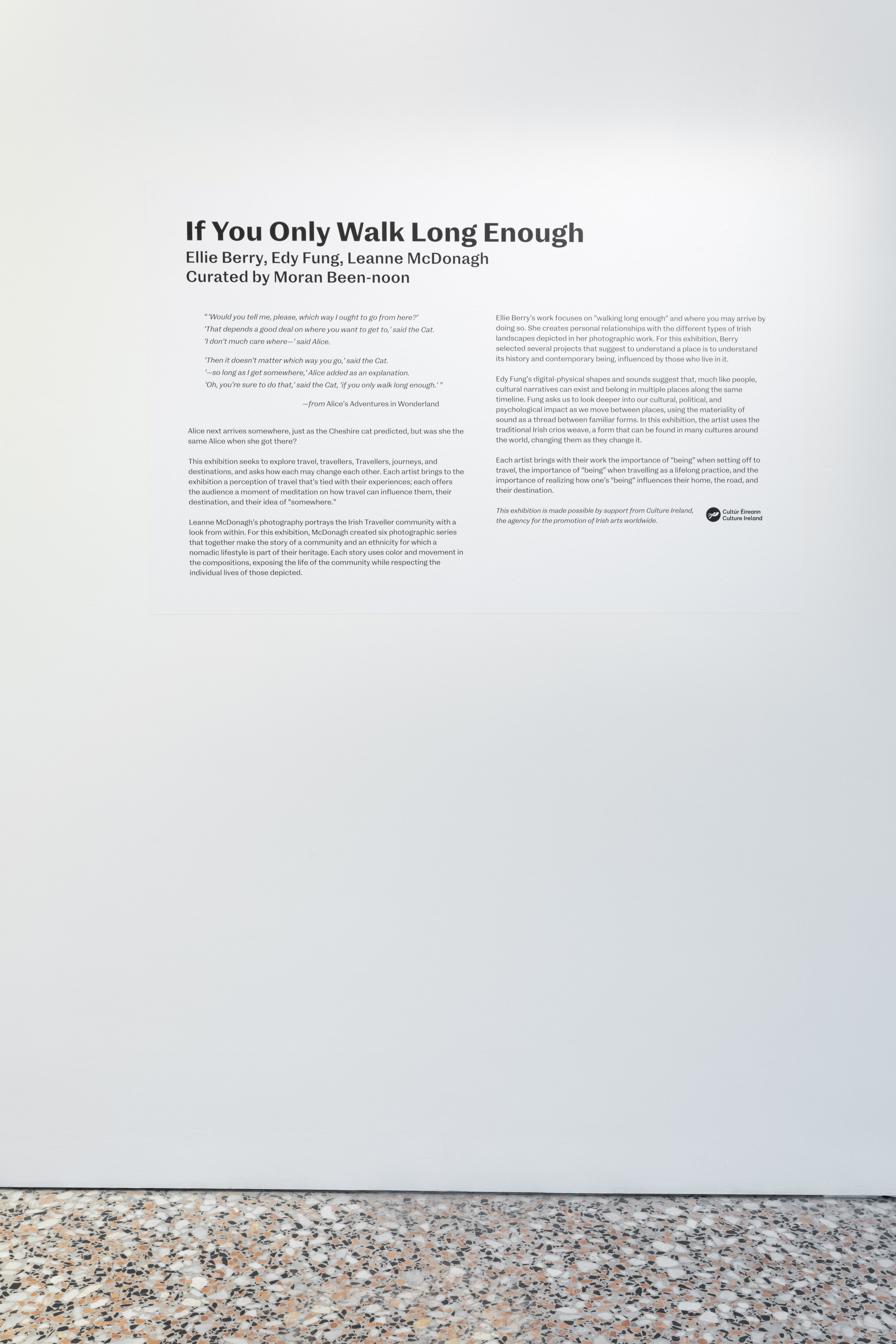
When I started my research into walking I never expected a stage where I wouldn’t be able to go further than a couple of kilometers beyond my house. At the time of writing, March 2021, the world is one year into the Covid-19 global pandemic. In the past year Ireland has gone through a number of ‘lockdowns’, with movement restricted to specific distances from place of residence, or within regional counties. However, during these months there has been a marked increase in people ‘finding’ the outdoors. Mountaineering Ireland, (11) the recognised National Governing Body for mountaineering, hillwalking, rambling, and climbing, published an article by Helen Lawless in the Summer 2020 edition of The Irish Mountain Log, titled ‘Increase in physical activity seen during time of Covid-19 restrictions’. In the article Lawless writes how although many people cannot partake in their usual activities during Covid-19 restrictions, “research has shown that many people have ‘found’ the outdoors at this time.” (12) This research, conducted by Ipsos MRBI on behalf of Sport Ireland, (13) reports that “Irish adults walking at least once a week for recreation has increased throughout the Covid-19 pandemic, reaching 83% in May” 2020, and that “the percentage of people that are inactive is at its lowest ever (11%).” (14) In her article, Lawless questions how this new level of participation can be sustained into the future, with no clear answer in sight. 

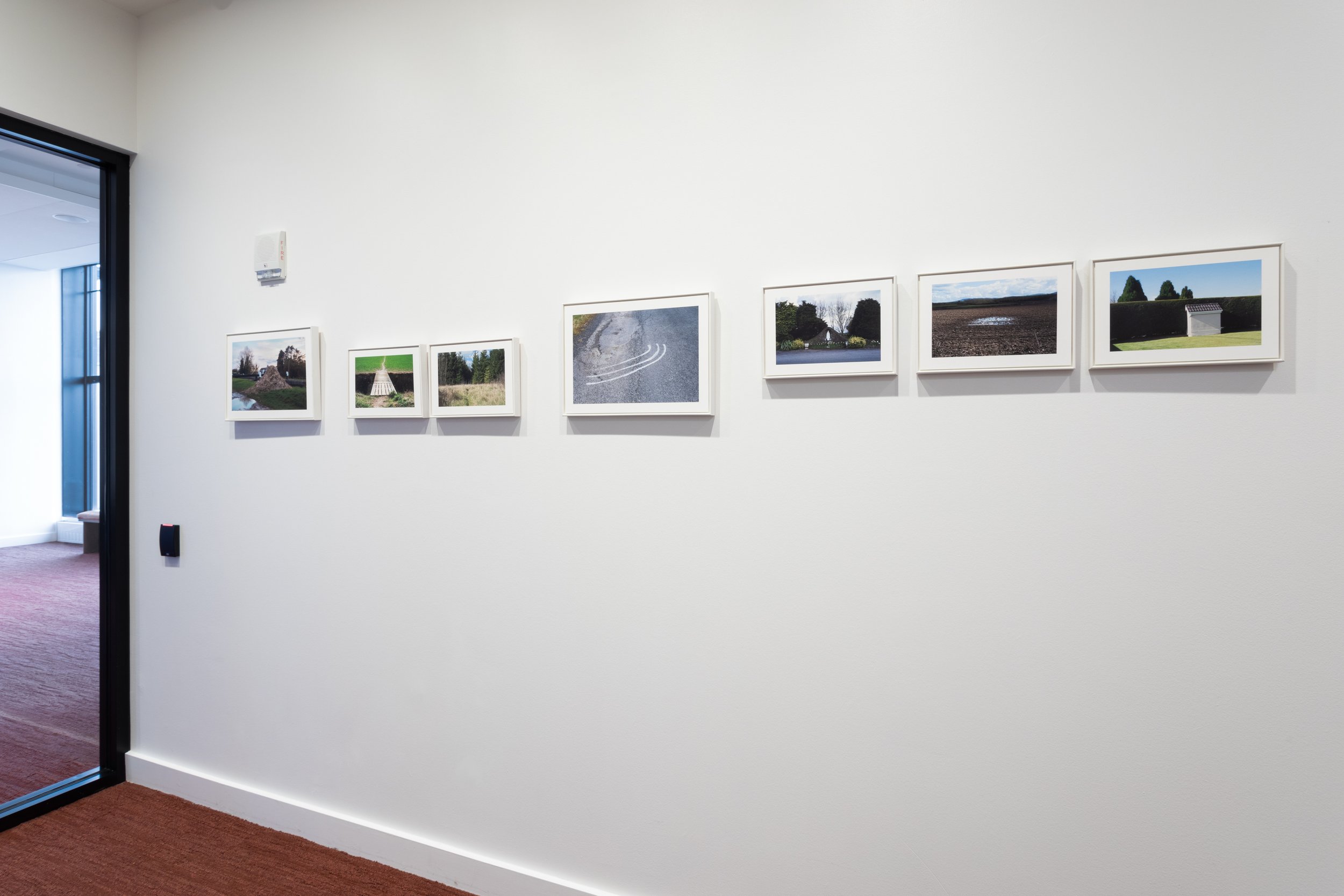
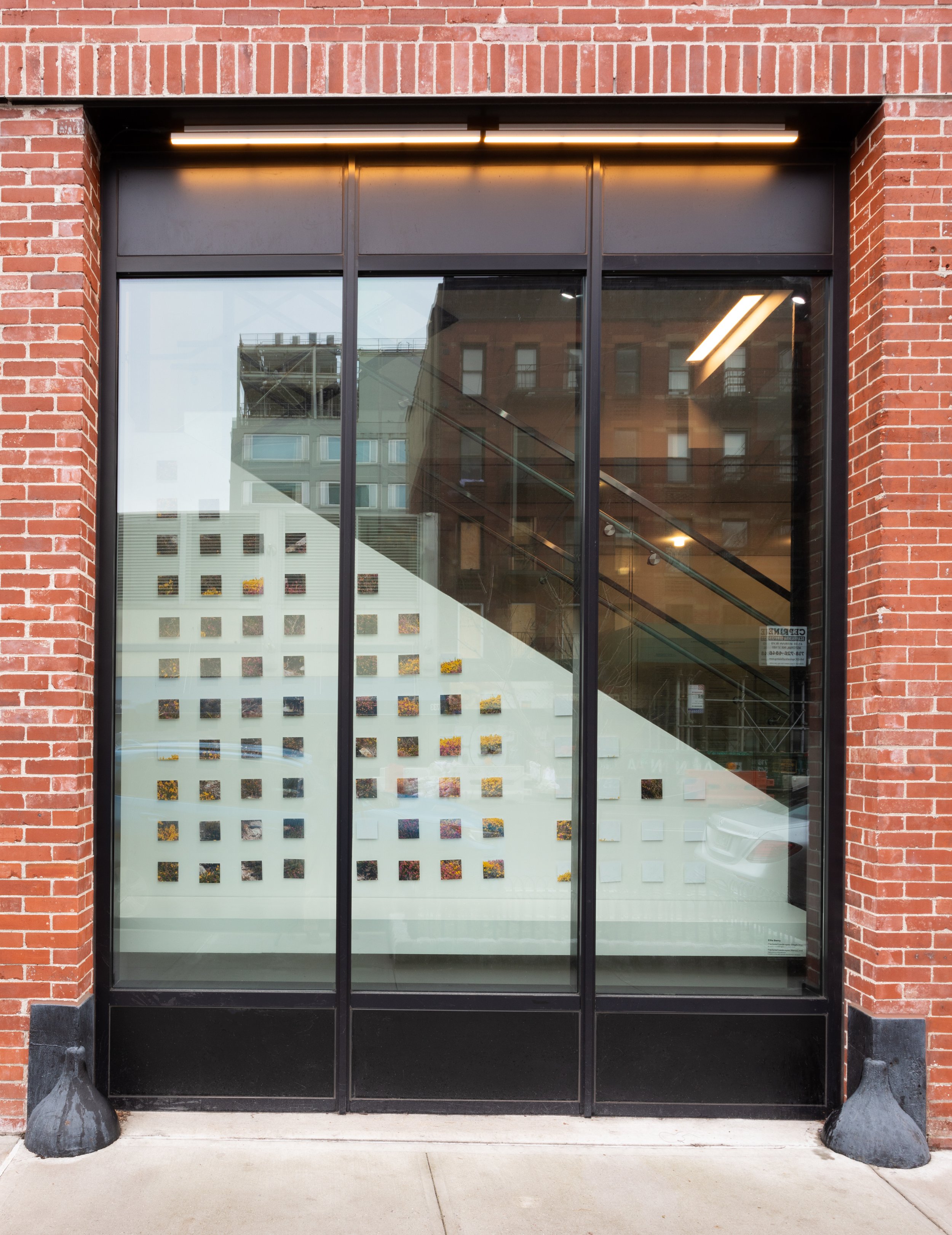
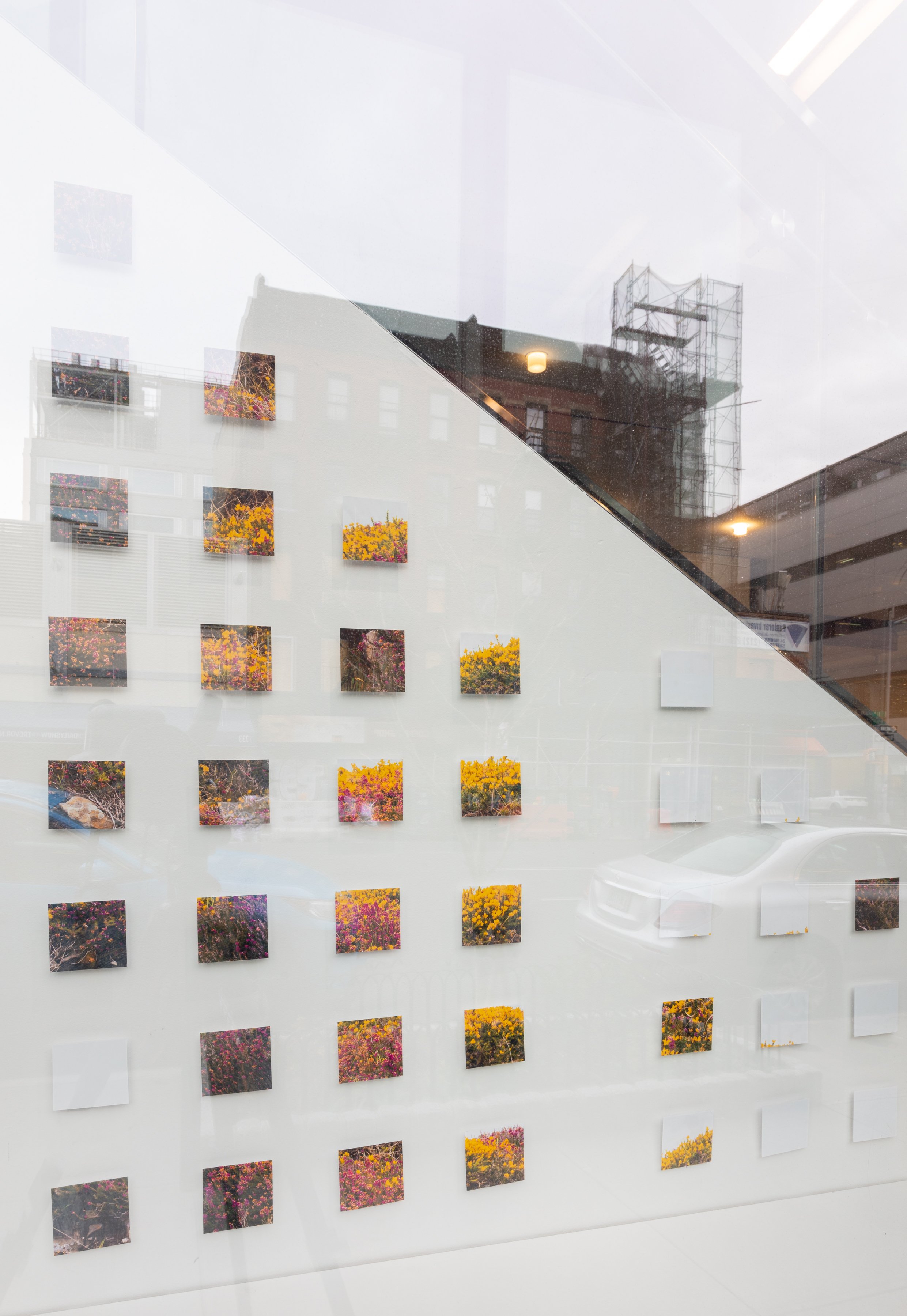
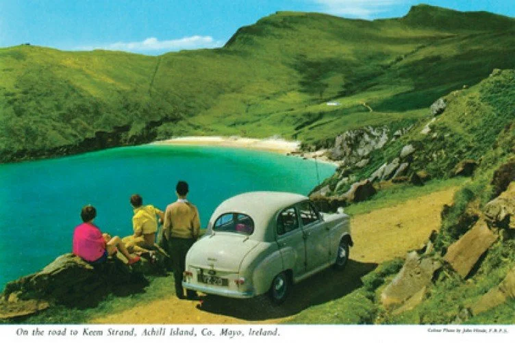
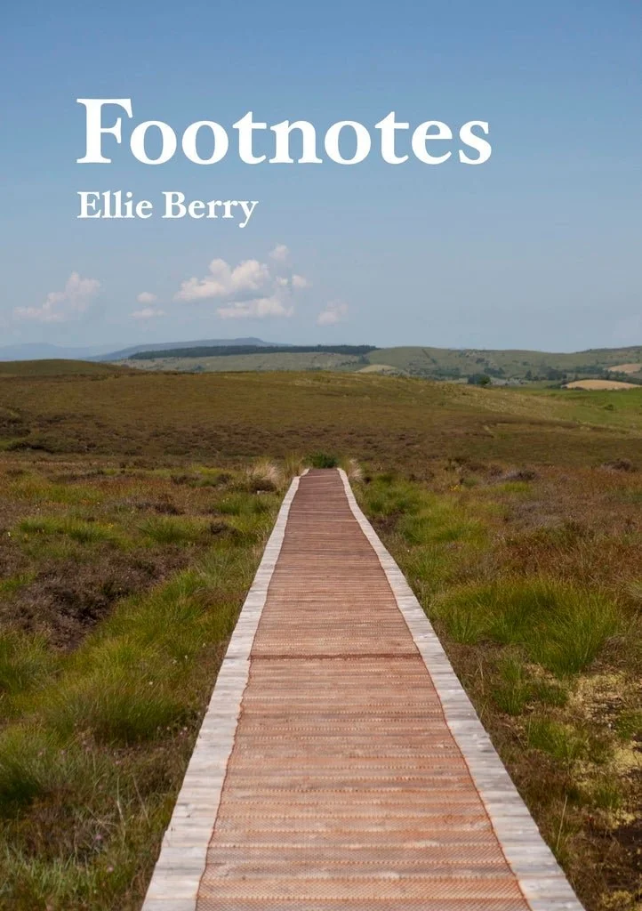
As the Access & Conservation Officer for Mountaineering Ireland, Helen Lawless has written about the impact of our increased recreational use of the outdoors in previous editions of The Irish Mountain Log. In Issue 132 (Winter 2019) Lawless published the article “Learning from Cuilcagh,” (15) a follow-on from a piece she wrote in 2017 about the same area, titled “Much to be Learned From Experience at Cuilcagh”. (16) Based on the titles I immediately knew that these articles would provide insight into the under researched topic of the cause and effect of an Irish location becoming famous on Instagram - I have seen this place hundreds of times depicted on the social media platform. Online this hike is known as ‘the stairway to heaven’, as the route follows a long boardwalk and staircase up to the summit of Cuilcagh Mountain (665m), the highest point in counties Cavan and Fermanagh. The focal point of all of the images that I have seen of the trail and surrounding area focus on the structure of the boardwalk, as the sun-bleached wood stands out starkly from the blanket bog landscape it twists through.

In the first article in 2017, Helen Lawless describes the background to the area: in the late 1990s all commercial peat farming ceased, and the bogland went through a series of conservation processes as a classified Special Area of Conservation (SAC) through the EU LIFE programme. Between 2003 and 2008 two walking trails were routed across this area, which encouraged more footfall and caused the trampling of a wide area as walkers tried to follow the trail without walking through other trampled, boggy areas. Early attempts at rectifying this problem only exacerbated the trampling of flora and destruction of the fragile ground, leading to a brief closure of the affected area. The council overseeing the development of the area decided to build a boardwalk (in this instance, boardwalk meaning a raised wooden walkway with handrails) to protect the area from further erosion. 

In her article, Lawless writes that the announcement to build a boardwalk up to the summit of Cuilcagh mountain was met with concern from members of Mountaineering Ireland, who wrote to the Geopark that the bogland was part of, highlighting their issues. These issues included concern for “the visual impact of the boardwalk on the landscape, that the structure was out of proportion to the modest degree of erosion on Cuilcagh and that, through increased usage, it could exacerbate impacts on the summit plateau.” These concerns were, according to Lawless, ignored, as the legal category of the land didn’t require any further environmental assessment. At the end of this paragraph Lawless reiterates how “landscape and visual impact were not considered.” 

The title of the next section of her article, The impact of social media, pinpoints just how far our lexicon and cultural landscape has changed in the past ten years. Lawless writes that in 2017, a video of this boardwalk became famous, “reaching 1.4 million views in three weeks,” which resulted in an estimated 3,500 people visiting Cuilcagh over the four day period of the Easter weekend that year, “greater than the total number of visitors for all of 2013.” From here Lawless draws our attention to the impact and stress this caused to the local residents and landowners, the extra security firm brought in to manage traffic, and the overworking of the Geopark staff. Lawless conducted a site visit 5 months after Cuilcagh’s rise to fame, finding that the erosion after the end of the boardwalk spanned an area wider than 50 metres, and continued across the ridgeline of the mountain for 1 kilometre. This high volume of tourism aged the area by 10 to 20 years of footfall within the space of these first few months. 


  1.  Between September 2019 - March 2020 there had been a resurgence in trail assessment to make sure that the trails were continuing to conform to specific trail standards. Around then, every few months a trail might be closed for maintenance - or one that has been closed might be re-established. Since the Covid-19 pandemic started in March 2020 I personally know that work has been done on many of the closed trails. I expect the number of National Waymarked Trails to grow quite rapidly once the Pandemic as we know it to be has passed. 

  2.  Setting New Directions: A Review Of National Waymarked Ways In Ireland. National Trails Office, and Irish Sports Council, 2010. p. 8.

    https://www.irishtrails.ie/Sport_Ireland_Trails/Publications/Trail_Development/Setting_New_Directions.pdf. Accessed 7 Jan 2019.

  3.  Irish Trails. “Guide to National Waymarked Ways in Ireland.” Irish Trails, https://www.irishtrails.ie/Sport_Ireland_Trails/Trail_User_Advice/National_Waymarked_Ways/. Accessed 7 Jan. 2019.

  4.  An unfinished overview map of the National Waymarked Trails put together by Carl and myself when thinking about how to visualise the trails, 2020. 

  5.  Simmonds, Charlotte, et al. “Crisis in Our National Parks: How Tourists Are Loving Nature to Death.” The Guardian, The Guardian, 20 Nov. 2018, www.theguardian.com/environment/2018/nov/20/national-parks-america-overcrowding-crisis-tourism-visitation-solutions. Accessed 1 Apr. 2019.

  6.  Ibid. 

  7.  Ibid. 

  8.  Canon, Gabrielle. “Fresh Mountain Smog? 96% of National Parks Have Hazardous Air Quality – Study.” The Guardian, 8 May 2019, www.theguardian.com/environment/2019/may/08/national-park-air-quality-hazardous-study.

  9.  Schultz, Kai, et al. “‘It Was Like a Zoo’: Death on an Unruly, Overcrowded Everest.” The New York Times, 26 May 2019, www.nytimes.com/2019/05/26/world/asia/mount-everest-deaths.html.

  10.  Gentleman, Amelia. “‘Everyone Is in That Fine Line between Death and Life’: Inside Everest’s Deadliest Queue.” The Guardian, 6 June 2020, www.theguardian.com/world/2020/jun/06/everyone-is-in-that-fine-line-between-death-and-life-inside-everests-deadliest-queue.

  11.  Mountaineering Ireland is the representative body for walkers and climbers in Ireland. It is recognised as the National Governing Body for mountaineering, hillwalking, rambling, and climbing by both Sport Ireland and Sport Northern Ireland. Mountaineering Ireland is governed by a Board of Directors, elected by the membership.  It has a professional staff team based at Irish Sport HQ, National Sports Campus, Blanchardstown in Dublin and at Tollymore Mountain Centre in County Down.

    Mountaineering Ireland. “About Us | Mountaineering Ireland.” mountaineering.ie, mountaineering.ie/AboutUs/default.aspx. Accessed 25 Nov. 2020.

  12.  Lawless, Helen. “Increase in Physical Activity Seen during Time of Covid-19 Restrictions.” The Irish Mountain Log, vol. Summer 2020, no. 134, 2020, pp. 58–59.

  13.  Ipsos MRBI. “Impact of Covid-19 Restrictions on Sport and Recreational Walking.” Sport Ireland, May 2020.

  14.  Op. Cit. Lawless. 2020. p. 58. 

  15.  Helen Lawless, “Learning from Cuilcagh,” The Irish Mountain Log, Winter 2019. Issue 132. 

  16.  Helen Lawless, “Much to Be Learned From Experience at Cuilcagh,” 2017, http://www.mountaineering.ie/_files/2018125165027_89659124.pdf. Accessed 2 March 2020


This is the majority of the introduction to this thesis. I think this is as good a place to cut it as I am likely to think of - my reflections “how to climb a famous mountain” fits in pretty well contextually after this, as it’s about my personal experiences climbing Cuilcagh while being aware of all of the above. Having thought and written about this mountain for so long, I decided that to be able to draw my own conclusions fully I needed to visit it myself.

If you are interested in more of my research and artistic outcomes from this project, please get in touch!

Graduating from my Research Masters, 2021 by ellie berry

I’ve graduated.

I wore the gown, and smiled from ear to ear (behind my mask). As I absorbed the excitement around me, I thought about how for this, my second graduation, I both knew what to expect, and had different expectations. It was quite freeing. And being a class of one, there was the benefit of being able to slip through each part relatively quickly, with only fleeting moments of feeling mildly disconnected from everyone around me.

What I’m most happy about is that I’ve come out the other side of this whole experience, and am still in love with and excited to continue exploring this academic side to walking and visual representations. My research and practice ended up touching on a lot, and I’ve yet to perfect the elevator pitch. Right now, it goes something along the lines of;

“I’m researching the perpetuated representations of places, and look at how that cycle continues - as well as the impacts that we have when contributing to it. I’m also interested in how walking can change our connections to place, and our ways of thinking about place.”

It’s not exactly snappy or specific. Often times I explain the idea of “imaginative geographies”, where people have an imagined expectation of a place without ever being there. But that’s only one corner of what I’ve tried to write about. Writing the research paper this summer on artistic methodologies when outdoors, I think what really excited me was realising that I feel like I’ve really learnt how to research and expand on reflections I have when walking. I will be forever grateful for the guidance and teaching from my supervisors, Dr. Justin Carville and Dr. Mark Curran.

But anyway.
That was days ago. Now I’m walking with a coffee in the park by myself. My path is dictated by the sun. And the over arching feeling from graduating is a peaceful contentment. Life continues. Another step forward.

Research Reflections - Walking As A Question 2021 by ellie berry

 
Cover page of the paper - links to download at the end of the blog post

Cover page of the paper - links to download at the end of the blog post


Every other year the small village of Prespa, tucked away in a northerly corner of the Greek mountains, becomes the starting point for hundreds of soles, a stretching ground for toes, and a scratching post for both the theoretical and physical itchy feet of a conference of walkers. In 2019, I was lucky enough to attend. I met such a wide variety of creatives and thinkers, who all engage with walking in some form or another - be it part of an artistic practice, or from an anthropological research perspective. It was the first conference I wrote a paper for (and then presented shakily).

This year (2021) the conference went ahead, blending the previous in-person event with a list of online walkshops, talks and panels. I was accepted again to contribute from afar - or in my case, from the very close of my living room. I wrote another paper, talked online as part of a panel of researchers who each looked at varying pedagogies for walking, and took part in as many walkshops as I could.

For my paper, I wanted to expand on the ideas I’d had about the similarities between the reflective methodologies I had been implementing during my masters, and the reflective teaching of Leave No Trace ethics. Titled “Emerging Questions and Considerations on Leave No Trace and Walking Practices”, I wanted my paper to specifically draw on my experience of these two different situations I’ve found myself in; teaching Leave No Trace ethics as a trainer for Leave No Trace Ireland, discussing with people the need for personal reflection in our impacts outdoors; and within the ‘art world’, where I am drawn to artwork that incorporates walking or nature-based elements, where many artists reflect on their creative process but not necessarily the environmental affects.

This whole line of thinking was inspired by my experience of attending the 2019 conference in person. While I was there I saw so many artists who use, and pay homage to, the numerous outdoor spaces we experience swarm through the landscape. It was not necessarily good or bad, but it sparked a reaction within me, and made me wonder what conversations might arise out of running a Leave No Trace Awareness Course for a group of artists.

Paper Abstract: Leave No Trace is an outdoor ethics education programme that has been designed as a guiding mindset for how one interacts with and influences the natural environments. As the act of walking experiences an upsurge in participants, our collective mark on the environment and its natural processes increase. As artists, one can argue that there is a responsibility in how one’s engagements shape the culture around an activity, and as walking spreads into more fields of life and research, this consideration becomes all the more important. 

This paper aims to ask some emerging questions into how walking practices could incorporate or consider Leave No Trace within the practice. To investigate this topic I will be drawing on my artistic research into walking as practice, and my experience of both becoming and working as a Leave No Trace Ireland trainer.

The Greece Paper 202110.jpg

When considering the visual media to go with this paper, I wanted to touch on a couple of things. Firstly, I wanted to share imagery that corresponded with the Visual Research Journal and physical methods that I was writing about. For me this process is expressly physical, and so I shared scans of notes I had made about Leave No Trace teaching practices. This research is also still a topic that I am working on, and so for it to look like my research journals also gave it that layer of still being something that I am working on.

The Greece Paper 202112.jpg

Another element that I wanted to explore was how I would combine both Ireland and Greece within my paper - which ended up being a layering of the image of a cairn that I had taken on a recent hike, and maps from the area of Greece that the conference is held. In 2019, the conference was held over my birthday, and I was given a set of guidebooks/maps of the area - a set which have influenced so much of my work since then! It is also these maps that feature within the cairn collage.

 
Greece-paper-03-vr-4.jpg
 

As well as the written paper, the conference this year had proposed “audio papers”, which involved creating a short audio piece that participants could listen to while out for a walk. I loved this idea, and wrote a short script that delved into how I think about Leave No Trace while on a walk around my local forest park. Through the audio paper I got to expand specifically on how Leave No Trace principles are taught, and how they can become a constantly reflexive process.

In the past I’ve struggled to balance the theoretical and the creative - I love creating visual art, but quite often seem to forget that I do, when writing or focusing on the theoretical side. This is the first paper where I think I managed a sort of balance between the two, and really enjoyed creating the visual and audio editions to the paper.

Something that I didn’t get to explore in this paper were artists who have (or haven’t) explicitly used Leave No Trace principles, or similar practices. At the end of the paper, I specifically mention the work of Christo and Jeanne-Claude, who pioneered the Environmental Impact Assessment Report for artworks, such as their work The Running Fence, 1976. ‘Environmental Impact Assessment Report’ was a term I hadn’t come across before - and I’m sure is only one of many terms used to navigate the path of art and environment. I’m looking forward to expanding on this topic in the future.


If you want to read or listen to this paper, you can find it here.

Thank you to Clare Lyons and Sinéad Corcoran for (as always) being my sounding boards and writing friends for this paper!