Special Areas of Conservation
All of the Special Areas of Conservation in Ireland
It’s as I’m pulling my running t-shirt over my head that the thought bubbles up inside me, and I almost laugh at the contrast between my expectations and reality. When I thought about someone travelling for work, staying in a hotel and pulling their running gear out to do a loop around the block before bed, I imagined business men in dress suits catching red eye flights.
Never did I imagine myself (someone who for the majority of their life did not run, or think of it as an enjoyable activity), being the kind of person who would quickly check into a hotel room (the nice kind that you only luck out on when travelling for work) and immediately start pulling on road runners to go and see what the local block holds.
Still laughing at myself, I make it past the reception, the gates, and maybe 200 meters down the now-empty commuter by-pass, before a sign catches my eye. That’s a lie - it’s the gravel on the other side of the road I notice first. It looked like the kind of gravel used for trails by county councils, and gave me the feeling that there might be a pedestrian way into the woods. When the sign did come into view, it’s the map that’s on it that actually pulls me across the road, excitement building at the possibility of an off road run.
The sign details loops do Bray head, and the trails that flow along its rising contours and cliffs. There’s always a lot of text on these boards, but my heart soars a little higher when it picks out the line that Bray Head is a Special Area of Conservation.
Bray Head SAC
Special Areas of Conservation (often referred to by their acronym, SAC’s) are one of the three major subsets of protected sites in Ireland. These places are chosen because they contain certain habitats and species that are classed as rare, threatened or endemic animals and plants in the EU Habitats Directive.
For a small island, there is a really wide range of habitats here that are rarely found in the rest of the world. Some of the habitats on our SAC list are:
Bogs: raised bogs and blanket bogs
Turloughs: seasonal / draining lake
Sand dunes
Machair: this is a coastal habitat characterised by “a plain of lime-rich, wind-blown sand that is unique to the north and west of Ireland and Scotland. The typical flower-rich vegetation of machair is traditionally maintained through low-intensity livestock grazing, but is susceptible to pressures from recreational activities and over grazing. Machair ecosystems provide an important refuge for pollinators and threatened breeding wader bird species, such as Dunlin, Lapwing and Redshank. Post-Brexit, the entire EU land cover of the habitat occurs in Ireland, meaning the conservation of machair in Ireland is of significance on a European scale.”
Learn more here.Heaths: typically shrubland habitats on free-draining infertile, acidic soils and characterised by open, low-growing woody vegetation (like heather), although can also be found in dunes and along coastal regions. Learn more here.
Lakes
Rivers
Woodlands
Estuaries and Sea inlets
The areas chosen as SAC in Ireland cover an area of approximately 13,500 sq. km. Roughly 53% of this is land, and the remainder is found in marine or large lake habitats. Across the EU, over 12,600 sites have been identified and proposed, covering 420,000 sq. km of land and sea, an area the size of Germany.
Bray Head SAC
Bray head is designated as an SAC for its sea cliffs and dry heath habitats - with the cliffs providing homes for important sea bird colonies. The area also contains dry calcareous grassland and native deciduous woodlands on its slopes. Back in 2016 and 2018, there were devastating fires on the headland - however, in their wake new conservation studies are being carried out in these areas too.
Even though I’ve already been researching Special Areas of Conservation for quite some time, and had ideas stewing and forming for this project - I had never noticed that Bray Head itself was one of these areas. And it is in these small, off the track signs, that hold these nuggets of information, where people can slowly, unknowingly, begin to learn about such places, and possibly start to weave together the larger tapestry that places like this are part of.
Bray Head SAC
I cross the headland as the sun is setting, with low clouds blowing across. One minute, the most cliched streaks of warm golds, pinks and oranges are burning their way across the far skyline - the next, I’m almost blind as the clouds thicken around me like a whiteout I’d experience on a wild mountainside, not necessarily on a small hill in an urban setting.
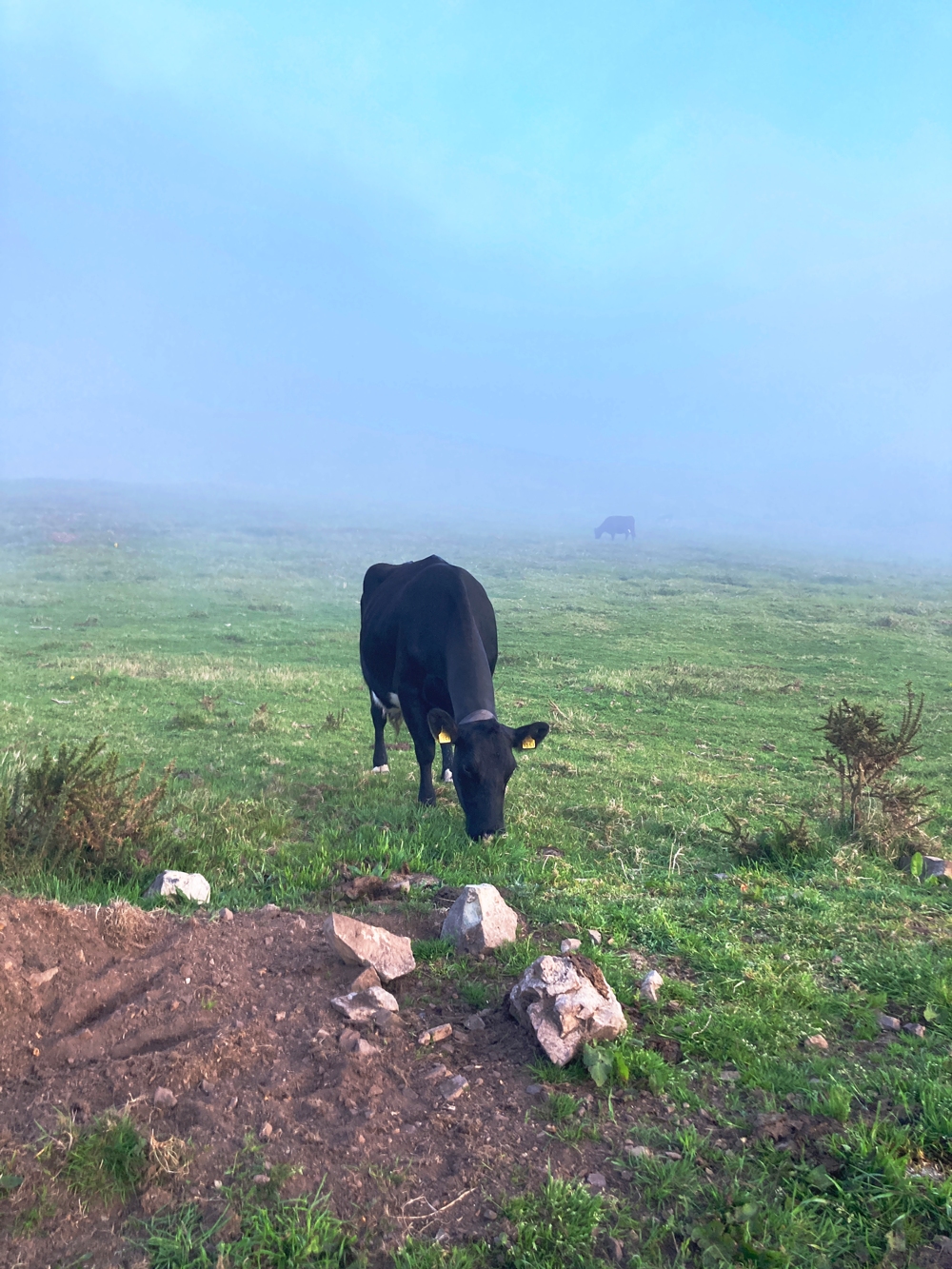
The mini-whiteout caused by the bright clouds means that I slow to make my way through the thick cloud cover. I see large shapes start to form around me, because of course the area I run through isn’t just for me - the spot that I’m running through has cows.
I have a strange relationship with cows. They are a walkers constant companion, if not necessarily friend, when experiencing many of the less trodden paths in Ireland. The one that comes closest to me is wearing a cow bell, creating the most beautiful sound as I approach.
Bray Head SAC
I always talk to cows - just to make sure they know I’m there. This one has stopped and is digging in the dirt, kicking it up above her in what I can only assume is a tactic to rid herself of flies. Bending down, she scratches her ears in the mud, swaying this way and that to reach the itch that no scratching post can find. Unsurprisingly, she had no reaction to me, being on Bray Head. Special Areas of Conservation close to urban settings see higher visitors than most, as people look for an escape from the city streets and bustling people.
Knocksink Wood Nature Reserve SAC
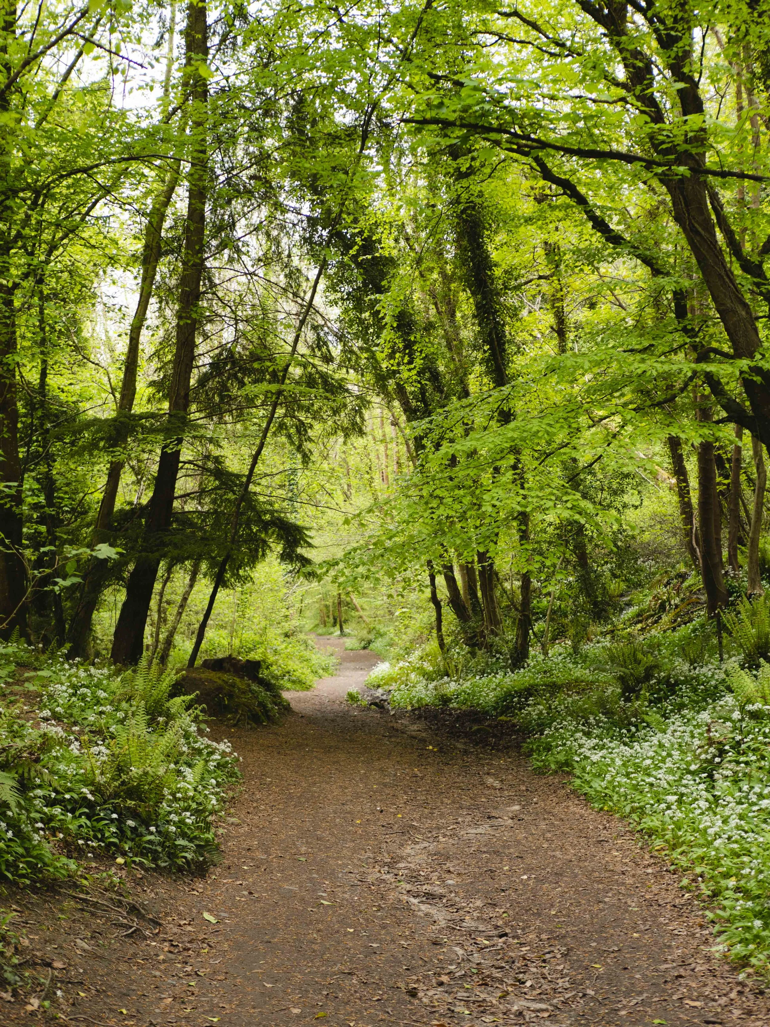
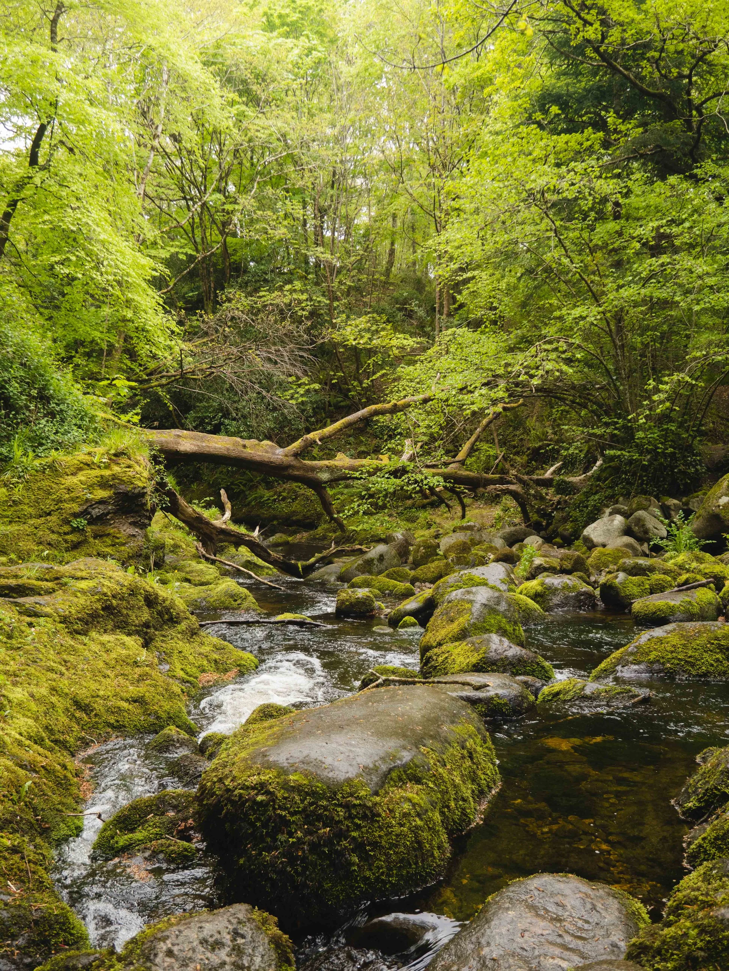
Knocksink Wood Nature Reserve, sitting on the edge of Enniskerry village in the Wicklow Mountains, shares the similar ease of accessibility as Bray Head: it is serviced by a bus route, as well as being a short drive from Dublin. Knocksink is a SAC for the petrifying springs that run down its steep slopes, as well as the narrow valley having one of the most diverse woodland invertebrate faunas in Ireland, incorporating wet woodland organisms threatened internationally within the EU.
Knocksink Wood Nature Reserve SAC
Unlike Bray Head, I arrived to Knocksink Woods knowing that it was a Nature Reserve and Special area of Conservation. And also unlike Bray Head, I didn’t happen upon a sign that laid out the area and told me the details of its designation. Reflecting on it now, I can understand why such signage might be avoided - as somewhere that is primarily being set aside for nature and not as an amenity, creating maps that show just how far one could walk into the valley might encourage more people to stray into realms that is currently only visited by the wildlife that needs it.
Knocksink Wood Nature Reserve SAC
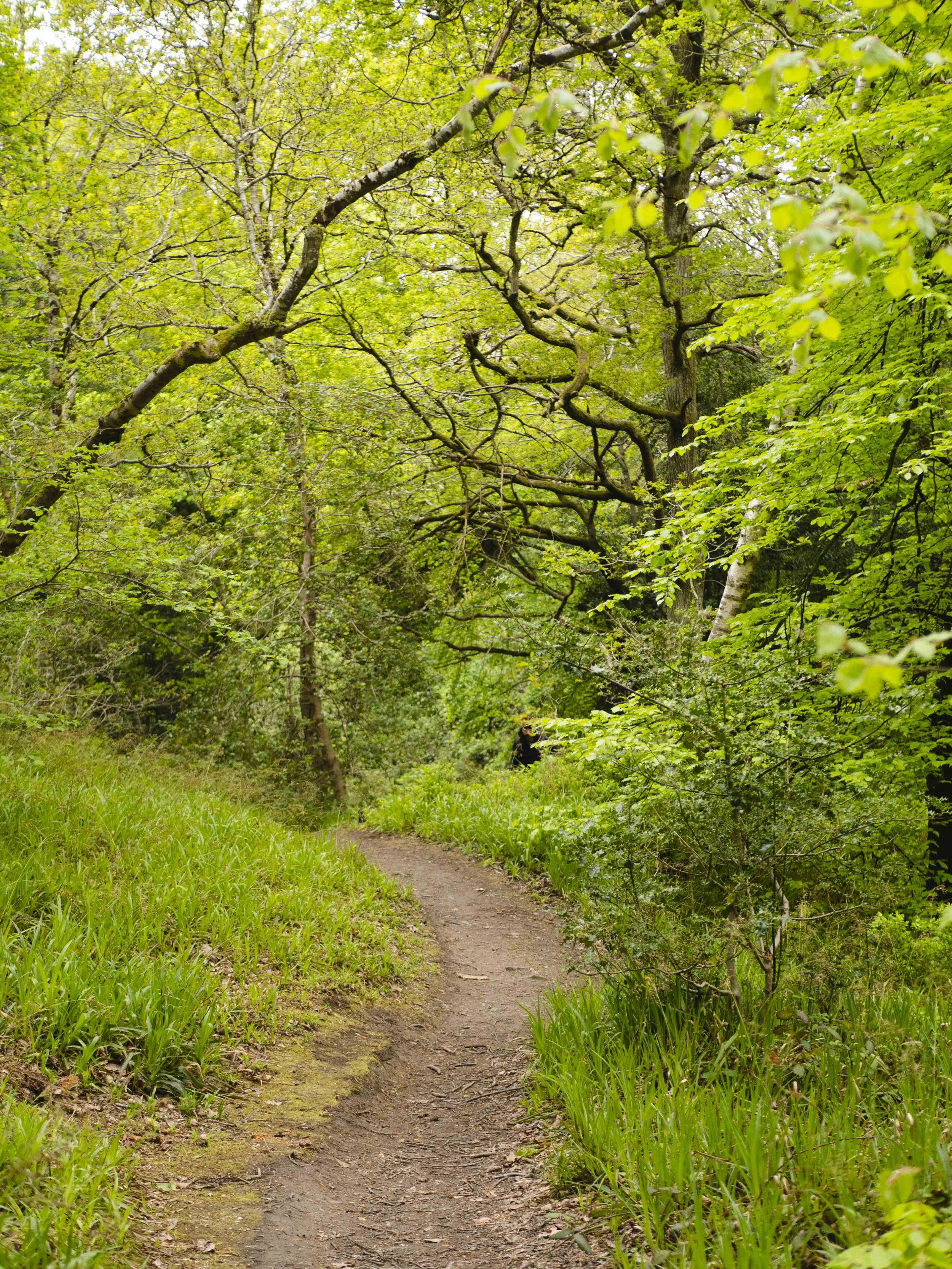
Visiting this site was a different experience - more pensive and reflective on how much life manages to live in such a narrow valley. It also highlighted for me the tricky elements in allowing people to know and explore these different areas and layers to our outdoor spaces - it was obvious that this woodland sees many people pass under its canopy on a daily basis, people who were looking to connect with and understand their natural environments.
That is what I hope for with this project - that it will reach people who want to know more about the many facets to our landscapes. It is impossible to know the exact details of every place, but through knowing the general whats and whys of places becoming Special Areas of Conservation, we can all better shape our interactions and understand our connections to places.
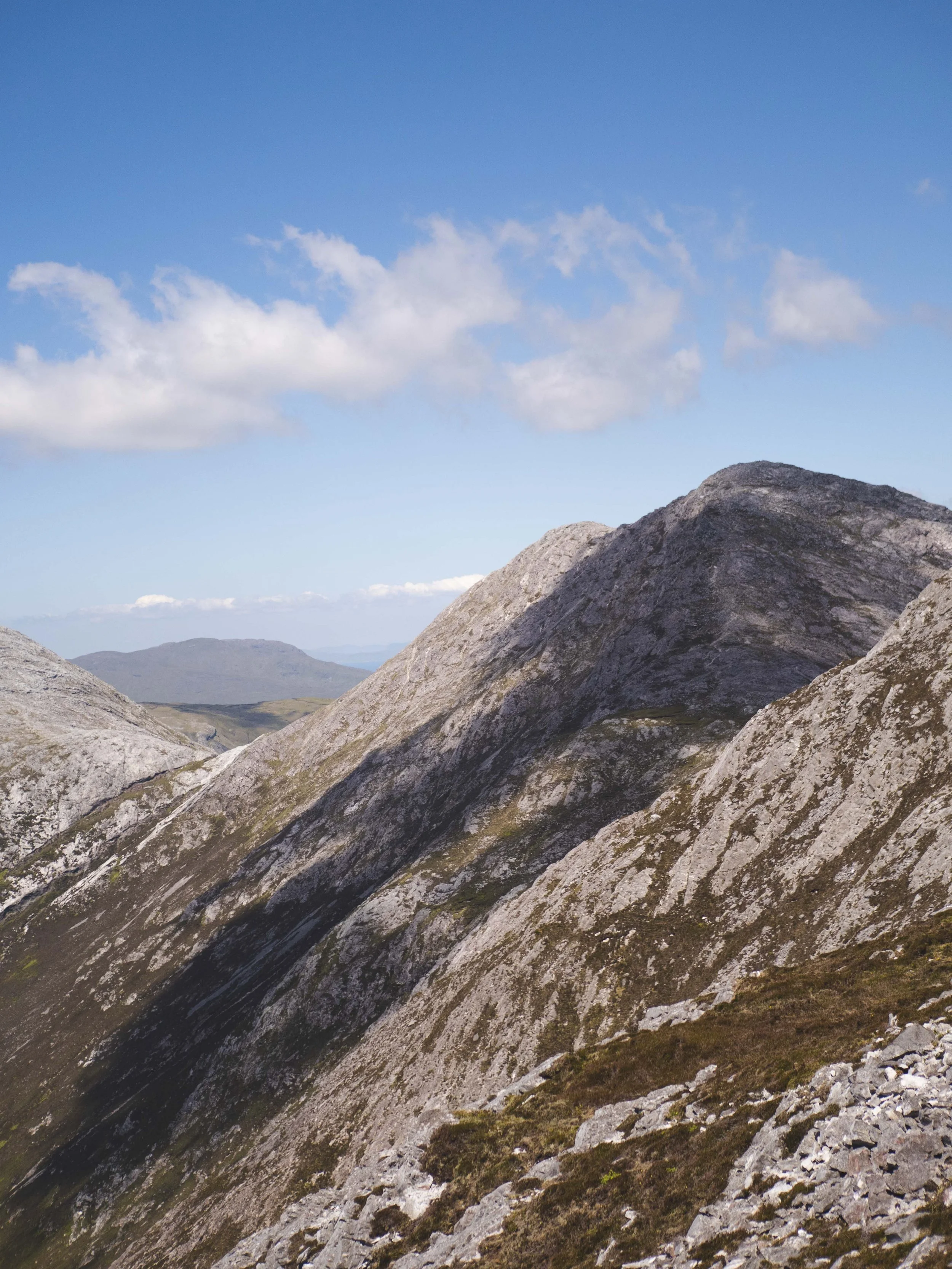
The Twelve Bens/Garraun Complex SAC
Interested in seeing what Special Areas of Conservation exist in your area?
Download my maps of the SAC’s in for each county of Ireland below. These maps are in PDF format, and are sized to be printable up to A2 dimensions.
The Open Data for the Special Areas of Conservation can be found here, and you can view different sites here on the NPWS website.
This project is funded through the Open Data Engagement Fund. This is a competitive fund designed to provide support towards promoting the use of open data on the national Open Data Portal data.gov.ie.
Learn more about the fund here.
